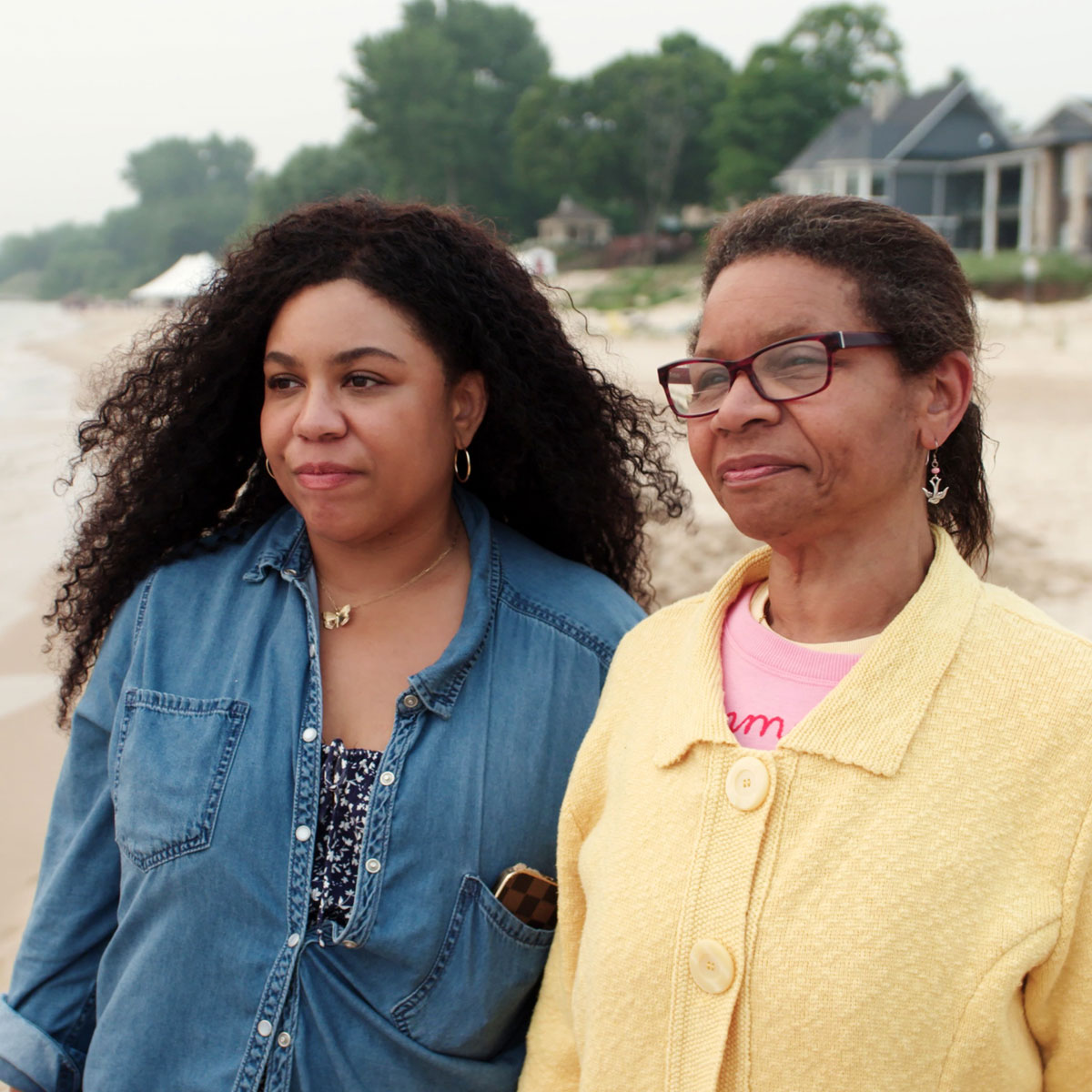
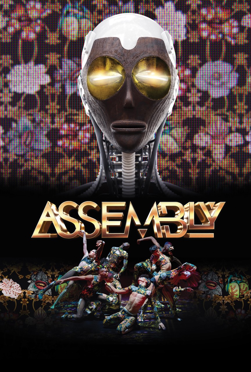
Visit Your Local PBS Station PBS Home PBS Home Programs A-Z TV Schedules Watch Video Support PBS Shop PBS Search PBS
Independent Lens
RSS Search Indie Lens

About Program Guide Video Community Cinema Classroom Your Lens Inside Indies

South Central Los Angeles

Disparities Map

In contrast to more affluent neighborhoods a few miles away, the community of South Central Los Angeles has struggled with a lack of services—grocery stores are few, while liquor stores and fast food restaurants abound. Public schools under-perform, and with two hospitals closed in recent years, community health clinics are overburdened. Unemployment in the region is 14 percent, a rate 37 percent higher than the neighborhood with the next highest unemployment.

Explore a map of the area and learn how these disparities impact residents >>

Timeline

In the 1940s, South Central was home to black-owned businesses and a thriving jazz and R&B music scene. Workers found jobs in nearby factories owned by Goodyear, Firestone, Chrysler and Ford. But with the closing of factories, the encroachment of L.A.’s freeway system, the growth of public housing, the arrival of crack cocaine and changing demographics, South Central’s landscape has changed over the years. More recently, efforts to rebuild are underway; the neighborhood has even changed its name.

View a timeline of the neighborhood’s history >>


Tell a Friend top

Home | The Film | South Central | Gang Intervention | Behind the Scenes
Learn More | Get Involved | Classroom | Talkback | Film Credits | Get the DVD | Site Credits
CRIPS AND BLOODS: Made in America home page Watch Preview
IL Home Home | About | Program Guide | Video | Community Cinema | Classroom | Your Lens | Inside IndiesContact Us Get the Newsletter
Pressroom     © Independent Television Service (ITVS). All rights reserved. | PBS Privacy Policy | Terms of Use | Credits