|
|
||||||
|
|
|
|
||||
|
|
||||||
|
|
|
|
||||
|
|
|
|
||||
|
|
|
|
||||
|
|
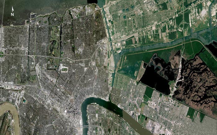
How New Orleans Flooded |
|
||||
|
|
|
|
||||
|
|
|
|
||||
|
|
|
|
||||
|
|
|
|
||||
|
|
This is a mosaic of nine satellite images of New Orleans taken between February 2004 and August 2005, before Katrina. |
|
||||
|
|
||||||
|
|
|
|
||||
|
||||||