The West | Full Documentary
Exploring The West
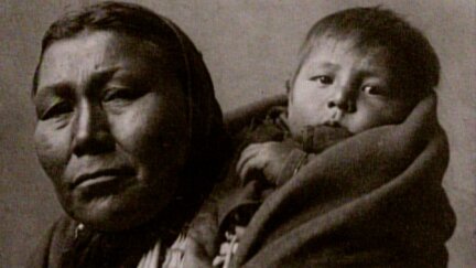
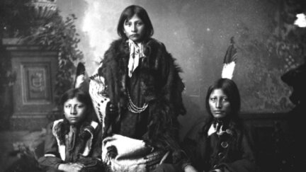
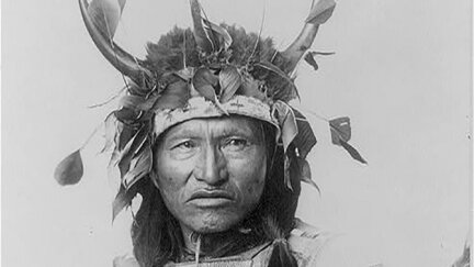
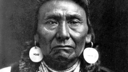
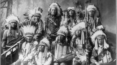
Spanish, British, French, Chinese, and Russian explorers came to the West from every point of the compass. Native Americans, its original inhabitants, have lived there for so long that their stories of creation linked them to the land itself.
Clip
3m 3s
Clip
Exploring The West
3m 3s
Spanish, British, French, Chinese, and Russian explorers came to the West from every point of the compass. Native Americans, its original inhabitants, have lived there for so long that their stories of creation linked them to the land itself.
Full Length
The People
82m 20s
The West begins as the whole world to the people who live there. It becomes a New World when Europeans arrive, a world shaken by incompatible visions. And almost three centuries later, when Lewis and Clark venture west to find a Northwest Passage, this world becomes the testing-ground for a young nation's continent-spanning dream.
Full Length
Empire Upon the Trails
84m 31s
Americans head west along many pathways -- following the fur trade into the mountains, fighting for self-determination in Texas, seeking religious freedom in Utah or a better life along the Oregon Trail. But whatever direction they travel, they move closer with every step to a “Manifest Destiny” that will make the West their own.
Full Length
Speck of the Future
84m 49s
The Gold Rush brings the whole world to the West, as 49ers from Asia, South America and the eastern states scramble for “a share of the rocks,” littering the hills with mining towns and creating the West’s first metropolis. But in the push to strike it rich, many are violently pushed aside.
Full Length
Death Runs Riot
84m 47s
Civil war comes early to the West. In “Bleeding Kansas,” abolitionists battle for free soil. In Utah, federal troops march against Mormon polygamy. And along the Rio Grande, oppressed Mexican Americans rebel. The war between North and South unleashes brute savagery in the West, and leaves behind an army prepared for total war against the native peoples of the plains.
Full Length
The Grandest Enterprise Under God
84m 33s
A triumph of the human spirit, the transcontinental railroad opens a new era in the West, carrying homesteaders onto the prairies, bringing cowboys up the cattle trail from Texas, helping give women the vote in Utah and sending buffalo hunters onto the plains, where they drive a symbol of the West -- and a way of life -- to the brink of extinction.
Full Length
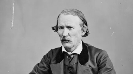
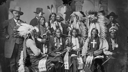
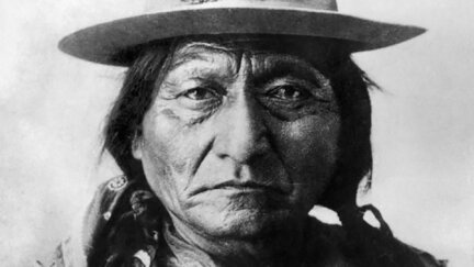
Fight No More Forever
85m 6s
The federal government tightens its grip on the West, but three bold spirits remain defiant -- Sitting Bull, who prophesies his people's greatest victory but cannot prevent their ultimate defeat; Brigham Young, who must sacrifice a spiritual son to save his church; and Chief Joseph, who triumphs in defeat as an indomitable voice of conscience for the West.
Full Length
The Geography of Hope
84m 53s
Newcomers arrive by the millions, bringing a new spirit of conformity to the West. Indian children are taught to forsake their heritage, Mormons are told to abandon a tenet of their faith, and new laws deny Chinese and Mexican Americans a place in society. Yet the legend of the “Wild West” lives on, thanks to the greatest showman of the age.
Full Length
Ghost Dance
58m 38s
As settlers race to claim tribal lands, Native Americans take up the Ghost Dance, trusting in its power to restore a lost way of life until their hopes are crushed at Wounded Knee. The new century marks a new era in the West, an age of aqueducts and smelters. But the West remains what it has always been, a world waiting for a dream.
Full Length
One Sky Above Us
62m 58s
As the 20th century neared, Americans celebrated with the World Columbian Exposition, where they were told that the frontier had closed – symbolized by one state proudly displaying an entire heard of buffalo – stuffed. But in the real West, for every frontier story that ended, another one began.
Clip
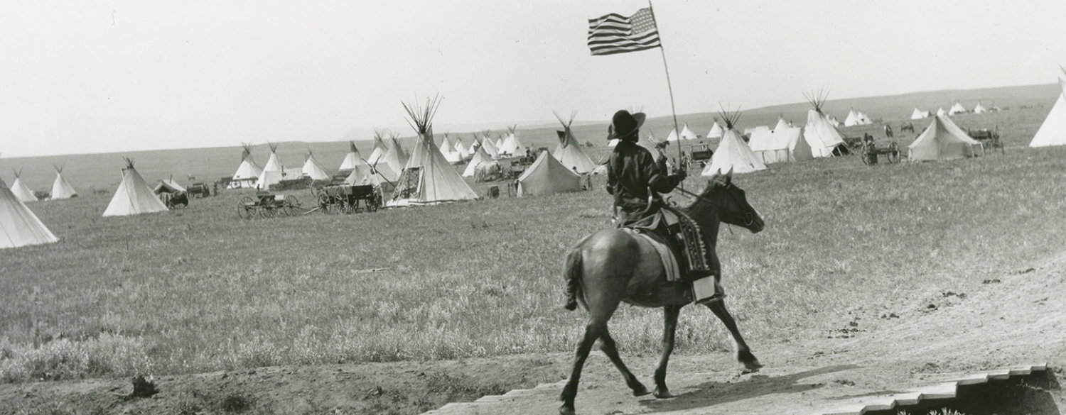
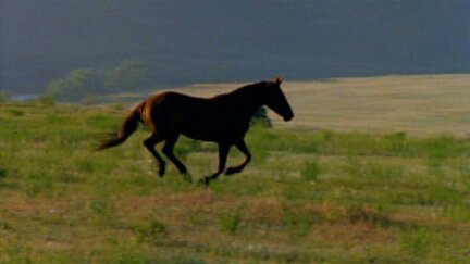
The Role of Horses
4m 51s
Horses were brought to the West by the Spanish — the utilization of horses changed the way of life for Native American people forever, as it allowed them to conquer their greatest enemy: distance.
Clip
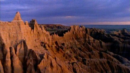
Extraordinary Landscape
3m 42s
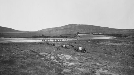
The West stretches from the Mississippi to the Pacific Ocean, from the Northern Plains to the Rio Grande — more than 2 million square miles of the most extraordinary landscape on earth. Its terrain has always beckoned and repelled.
- Prev
- 1
- 2
- 3
- Next
About the Film
A nine-part series chronicling the turbulent history of one of the most extraordinary landscapes on earth. Beginning when the land belonged only to Native Americans and ending in the 20th century, the film introduces unforgettable characters whose competing dreams transformed the land. It was a tragic, inspiring intersection where the best of us met the worst of us — and nothing was left unchanged.
Premiered on PBS: September 15, 1996.
Explore More
Explore Related Films
![The American Buffalo [2023]](https://d1z5o5vuzqe9y4.cloudfront.net/uploads/The-American-Buffalo/key-art-and-splash-site-materials/_250xAUTO_crop_center-center_60_none/AmericanBuffalo-ShowPoster-_sized.webp)
The American Buffalo [2023]
Examining the center of one of the country’s most mythic and heartbreaking tales.
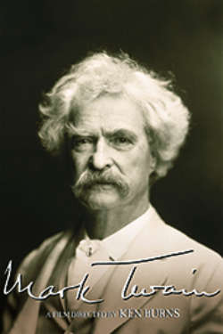
Mark Twain [2002]
"I am not an American, I am the American." The remarkable story of Samuel Clemens' adventurous life as a writer.
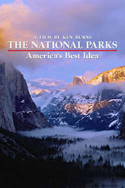
The National Parks: America's Best Idea [2009]
This film features those willing to devote themselves to saving land that they loved and practicing democracy.
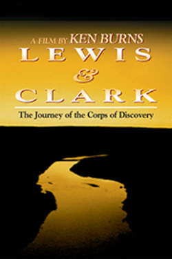
Lewis And Clark: The Journey of the Corps of Discovery [1998]
The remarkable tale about the Corps of Discovery who sought out the promises of unknown land.
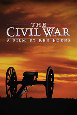
Civil War [1990]
It was the most horrible, necessary, intimate, acrimonious, mean-spirited, and heroic conflict of the nation.

See All Films