Eight New Eyes in The Sky

CYGNSS will give scientists a better idea of how tropical storms develop over short periods of time, as well as how they intensify. Image Credit: NASA
Related

Drones Are Helping Meteorologists Decipher Tropical Cyclones
Hurricane Relief Drones Could Put Eyes In the Sky
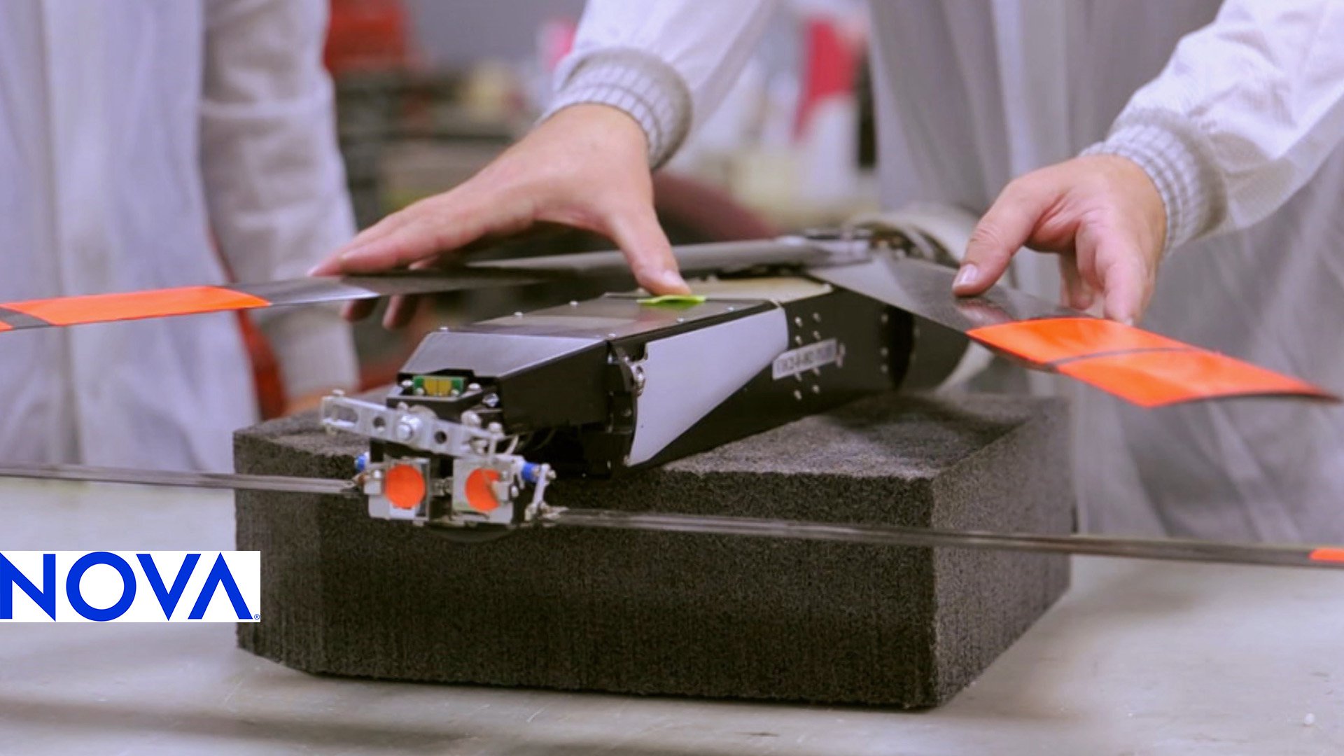
Drones Look Inside Hurricanes
When Scott Gleason was a graduate student, he realized that GPS signals are good for more than just navigation—scattered GPS transmissions can be used to help monitor tropical storms. A decade later, Gleason’s idea just came to fruition with the launch of NASA’s Cyclone Global Navigation Satellite System (CYGNSS).
CYGNSS is a squad of small satellites that will use reflected GPS signals to monitor wind speeds over tropical oceans. “Because of the cell phone revolution and because of the GPS commercial uses on cars, GPS receivers have gotten really, really small [and] low-power,” said Chris Ruf, an engineer at the University of Michigan and principal investigator on the mission. What’s more, since the CYGNSS satellites don’t broadcast any of their own signals, they don’t have to carry the heavy transmission equipment that other weather satellites bear. As a result, each CYGNSS satellite is only about the size of a large microwave oven and weighs about 60 pounds—about a hundred times lighter than GOES-R, a typical weather satellite that NASA launched last month.
Because the CYGNSS satellites are so small, scientists could build a fleet of eight satellites more quickly and cheaply than a single traditional weather satellite. The whole CYGNSS set only cost $100 million to design, construct, and test, compared to the $1.4 billion that went into building the series of four full-size GOES weather satellites, though those larger satellites have multiple sensors that detect a range of meteorological activity, from flash floods to tornadoes and lightning.
The pint-size CYGNSS devices were also relatively cheap to send into space because they all fit on a single rocket, the Pegasus XL, which launched from a Lockheed L-1011 Stargazer airplane on December 15. Over the next few months, the CYGNSS satellites will disperse into a ring around the Earth that observes oceans between 35˚ north and 35˚ south, where tropical storms are most common. The system will start observations at the onset of 2017 Atlantic hurricane season.
A Better Way to See Storms
CYGNSS’s GPS observation technique isn’t just good for making satellites smaller. It could help scientists understand how tropical storms intensify—an area of atmospheric science that has been stalled out decades. Although scientists’ ability to predict hurricane paths has improved by about 50% since 1990, forecasts of storm severity haven’t improved at all since then. “We don’t know whether [a hurricane] is going to die out, or whether it’s going to ramp up to a Category Five,” said Gleason, who now works as the CYGNSS instrument scientist at Southwest Research Institute.
That’s because previous weather satellites couldn’t see into the eye of a hurricane, which scientists think is the engine that powers a storm. Traditional satellites measured sea-level winds by sending down radio waves and measuring the signal that bounced back, but those radio broadcasts couldn’t penetrate an eyewall—the heavy clouds and rain that cloak a storm’s core. GPS signals, on the other hand, consist of lower-frequency radio waves that easily cut through an eyewall’s cloud cover. So CYGNSS satellites will get a good look at what’s happening inside the eye that drives a hurricane.
There is one drawback to CYGNSS’s GPS vision: To gather enough reflected signal for each observation, a CYGNSS satellite has to take the average wind speed over an area between 6.2 and 15.5 miles across. The average diameter of a hurricane eye is only 30 to 60 kilometers across, which means that “if there’s an observation on the eyewall, you’re washing in the signal from inside and outside [the eye],” said Brian McNoldy, a University of Miami atmospheric scientist on the CYGNSS team. “That’s definitely a concern.” CYGNSS might not be able to get a clear picture of the peak wind speed inside smaller hurricane eyes, but tropical storms are usually hundreds of kilometers across. So this outfit of small satellites should be “excellent at [mapping] out the whole wind field of the storm,” McNoldy said.
CYGNSS will also give scientists a better idea of how tropical storms develop over short periods of time. Other satellites tasked with sea-level wind speed measurement only swing back around to observe the same spot on Earth approximately once or occasionally twice a day. But tropical cyclones can significantly intensify over a period of 12 hours or less. So more frequent observations are necessary to characterize the evolution of a storm, said Sharan Majumdar, a mission team member and atmospheric scientist at the University of Miami. Since CYGNSS has eight satellites evenly spaced around the Earth, the whole system will have eyes on the same spot at least every six hours.

The official mission life for CYGNSS is two years. According to McNoldy, it’s difficult to say how many tropical storms the satellites might observe in that time, but the odds are good that CYGNSS’s line of sight will pass over the eyewall of a hurricane a couple times each month. This should give scientists a significant stockpile of data to characterize tropical storm intensification in unprecedented detail.
For Better Forecasting
The data gathered during the CYGNSS mission isn’t expressly intended for use in real hurricane forecasts. “This is not an operational mission, it’s an experiment,” said W. Linwood Jones, a satellite communications expert at the University of Central Florida who is not involved in this mission. Officially, CYGNSS is just a “proof of concept mission” to demonstrate that such small satellites can use the new GPS technique to make useful observations, Jones said. But he noted that “CYGNSS has the potential for significant impact right out of the box,” because scientists at the National Oceanic and Atmospheric Administration (NOAA) might use data from this mission in forecasts anyway.
“There’s a large computer system that the [NOAA] hurricane center uses to forecast the weather for real,” Ruf said. The computer model accounts for temperature, pressure, humidity, and other variables measured by aircraft and satellites, and its forecasts show up on the nightly news. NOAA researchers have now built a modified version of the program that can incorporate CYGNSS data, and they plan to test it out when the satellites start making observations next year. If CYGNSS data helps make more accurate weather predictions, NOAA might use it for official forecasts, Ruf said.
More Small Satellites to Come
CYGNSS may be the first small satellite mission launched by NASA’s Earth Science division, but it’s only one set of miniature machines coming down the NASA pipeline. A handful of other missions, which will use satellites ranging in size from a loaf of bread to a small washing machine, are planned to observe phenomena like Earth’s carbon cycle, atmospheric pollution, and weather. Gleason and McNoldy both expect to see more squadrons of small satellites in the future. “There have certainly been a lot of very large, very expensive [satellites] that have served us well,” McNoldy said. “I don’t think that’s going to end any time soon. But we might gradually see fewer of those in exchange for more missions like this.”
Jones agrees. He says the era of small satellites is “just in its infancy,” and envisions a future NASA mission that might have 20 or 30 small satellites performing CYGNSS-type observations to be used in NOAA forecasting. But of course, he said, “nothing happens overnight.”
Watch the Orbital ATK Pegasus XL rocket launch
 Maria TemmingPosts By This Contributor