|
|
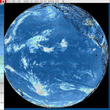
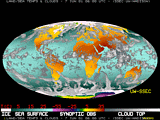
Virtual Weather StationThere are hundreds of real-time images available on the Internet from satellites and Webcams around the world; below is a selection of links to some of the very best, allowing you to see the effects of El Niño now.Satellite Images | WebCams These are thumbnail versions of sample images from the Satellite sites listed below. Use the links beneath the images to go directly to the sites.
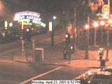
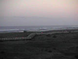
WebCams These are thumbnail versions of sample images from the Webcam sites listed below. Use the links beneath the images to go directly to the sites.
Still Images: (1) Canadian Meteorological Centre; (2) Skywatch; (3) University of Wisconsin/Madison Space Science and Engineering Center. Webcams: (1) Westland Network; (2) Pacific Realty. Anatomy of El Niño | Chasing El Niño | El Niño's Reach Dispatches | Resources | Mail | Site Map | El Niño Home Editor's Picks | Previous Sites | Join Us/E-mail | TV/Web Schedule | About NOVA Watch NOVAs online | Teachers | Site Map | Shop | Search | To print PBS Online | NOVA Online | WGBH © | Updated June 2001 |